A rare large-acreage Shasta County offering
This 739± acre offering includes wooded and timbered ground, open meadows, varied terrain, internal roads and water features. Portions of the property adjoin BLM public land. The recorded 2004 Property Line Adjustment depicts four adjusted parcels, creating flexibility for a buyer interested in the entire holding or individual large-acreage opportunities, subject to County and title confirmation.
Flexible Purchase Opportunities
The property is being offered as an entire 739± acre holding, with individual adjusted parcels also available at the proposed prices below, subject to Shasta County Planning and title confirmation.
| Working Acreage | Property Highlights | Proposed Price |
|---|---|---|
| 173± acres | Well + structure | $400,000 |
| 86± acres | Wooded/timbered areas; smaller tract | $250,000 |
| 189± acres | Large recreational tract; varied terrain | $299,000 |
| 291± acres | Largest individual tract | $499,000 |
Owner financing may be considered, subject to seller approval, payoff requirements, down payment, creditworthiness and final terms.
Property photographs
26 property photographs — eight selected highlights plus 18 additional property photographs. Explore photo locations on the interactive photo map below.
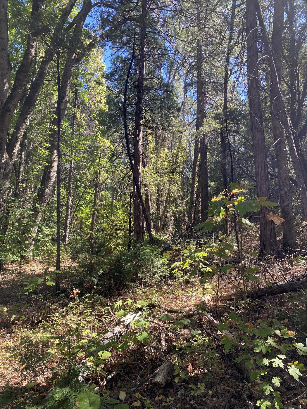
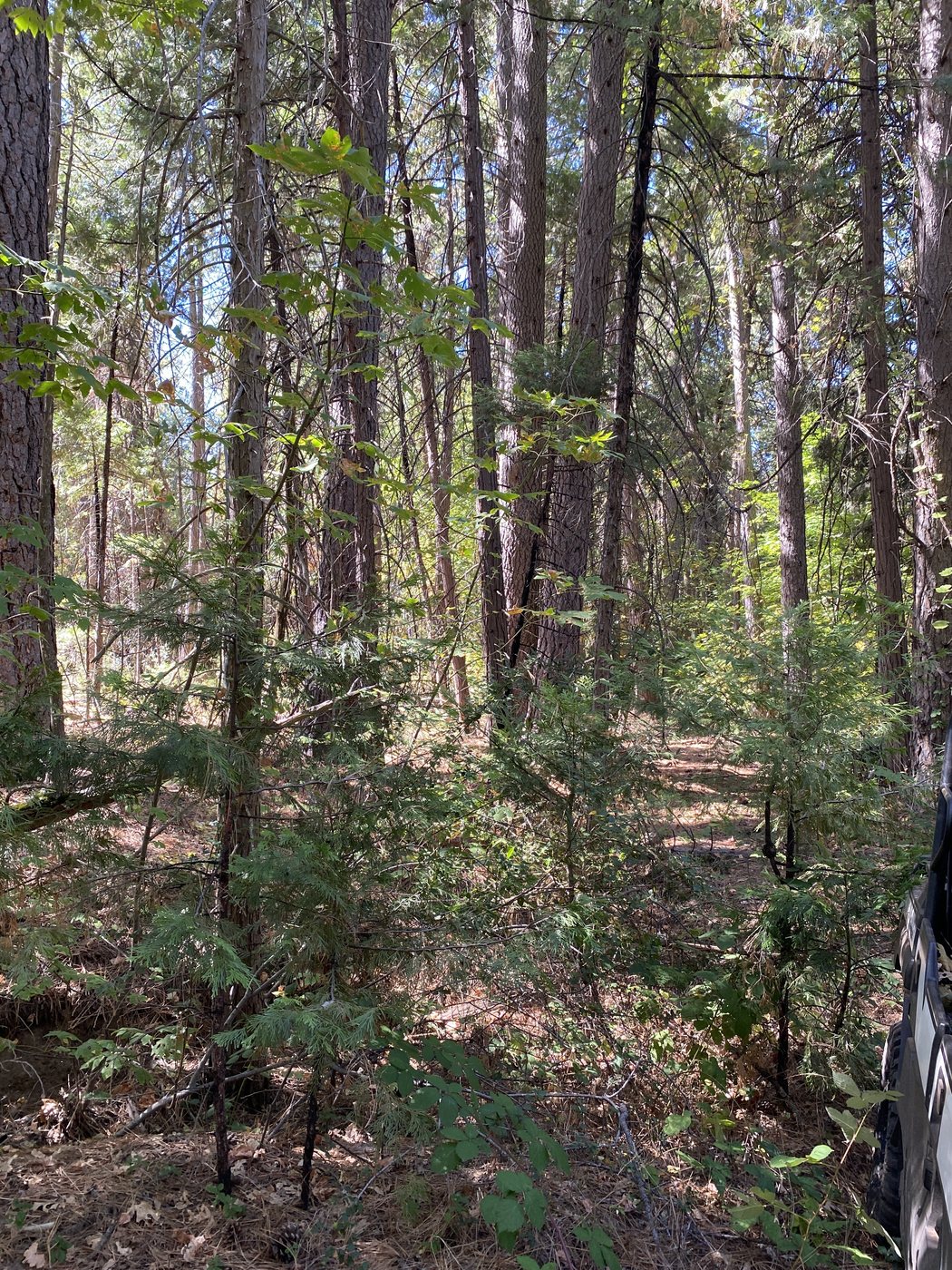

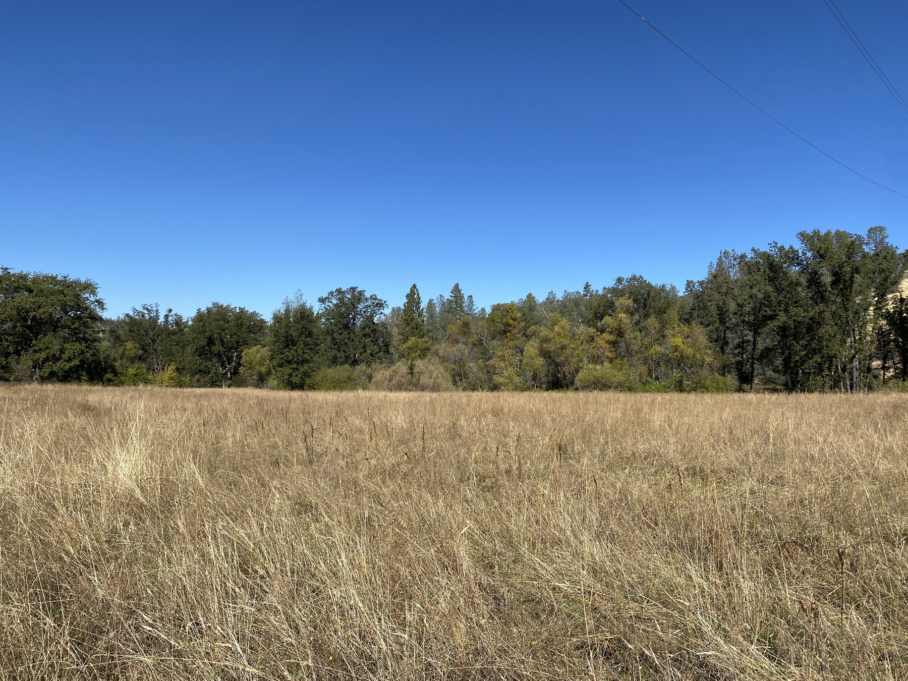
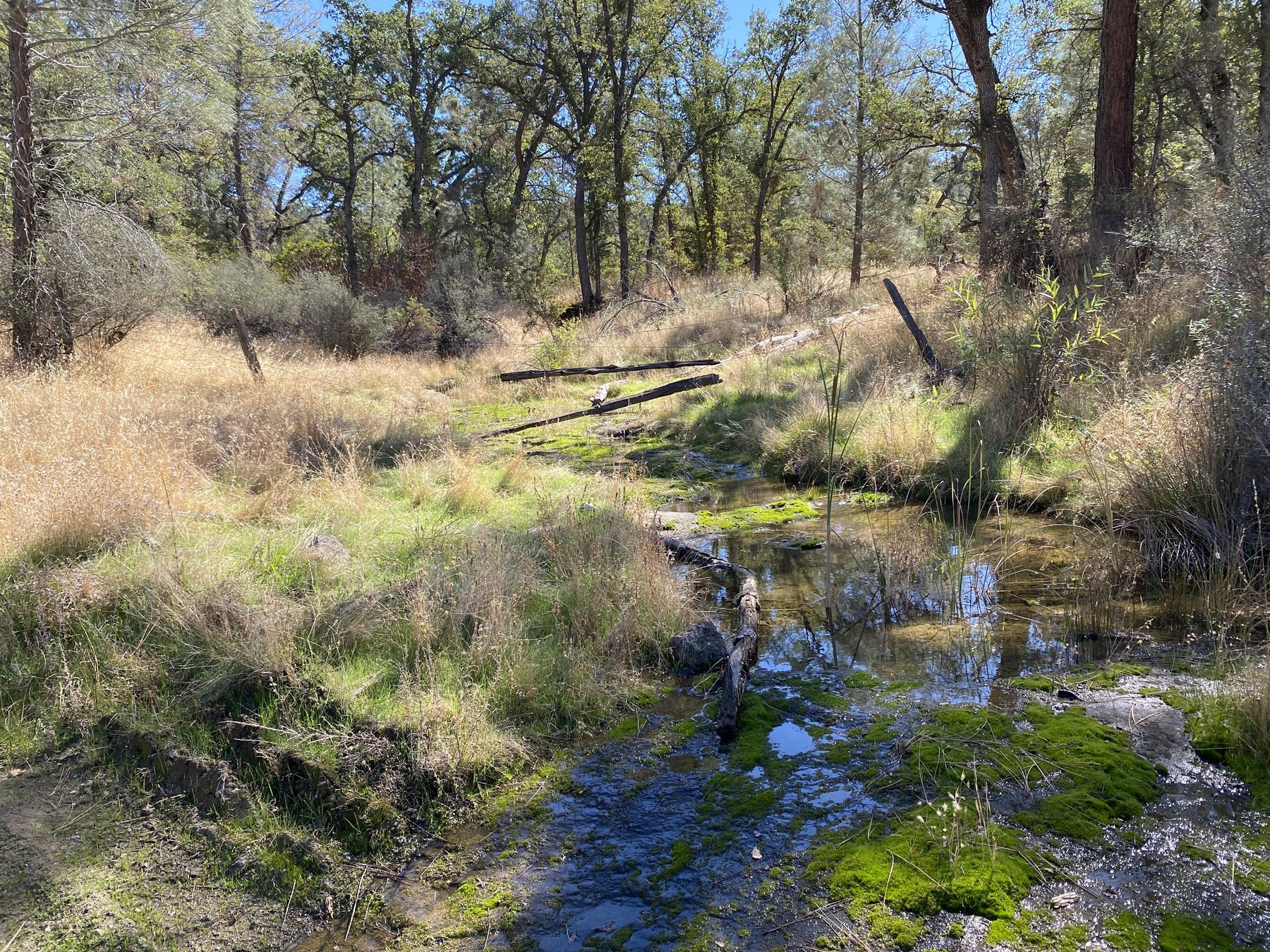
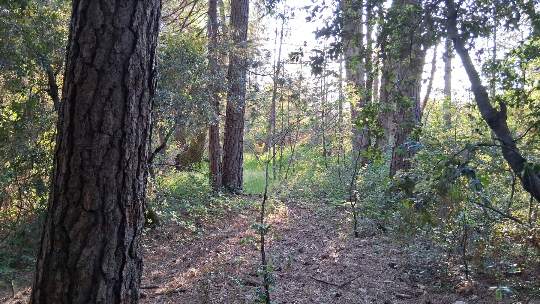

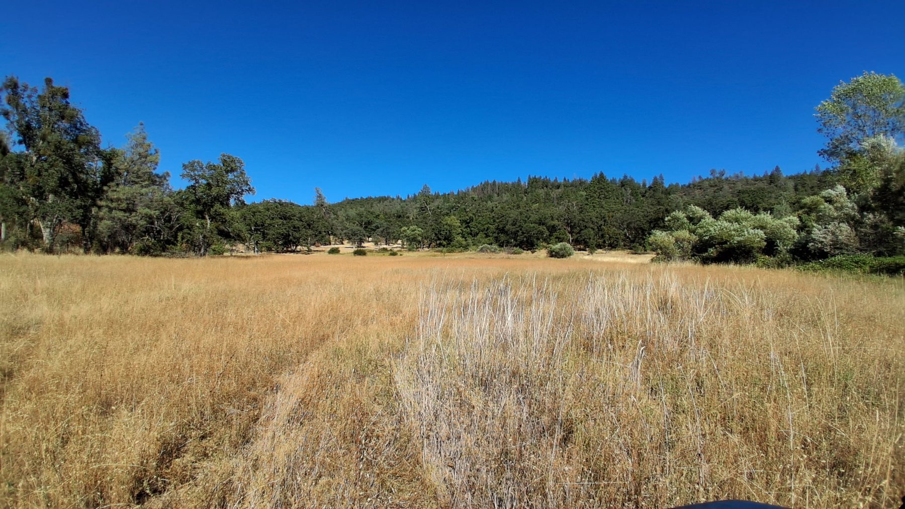
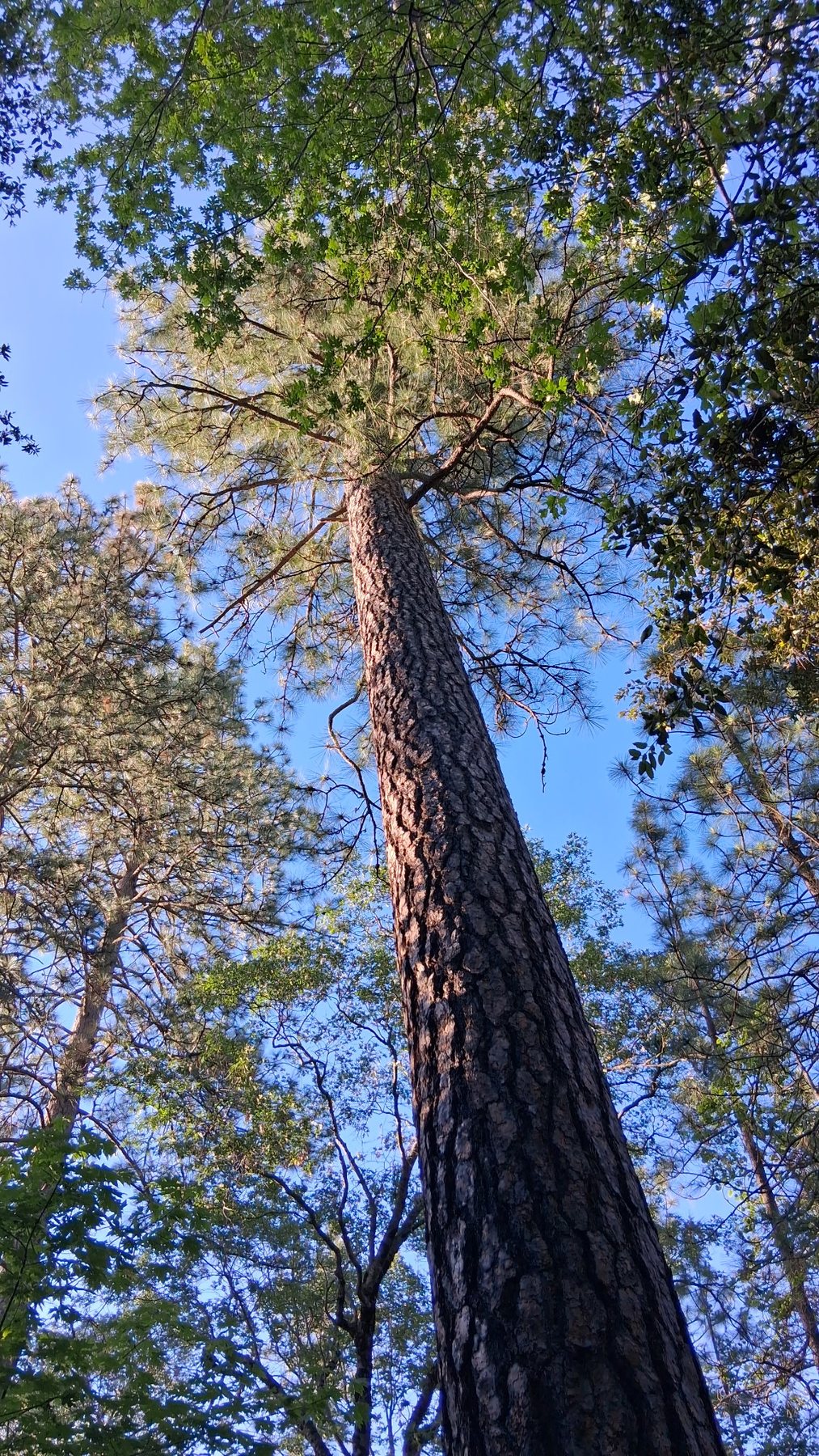
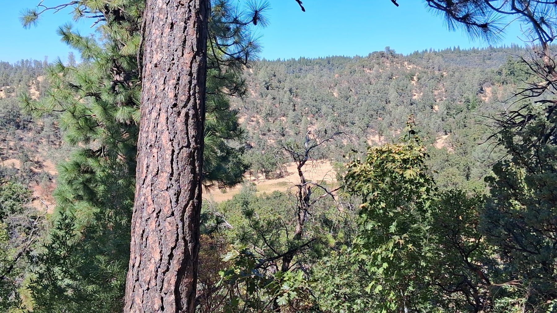

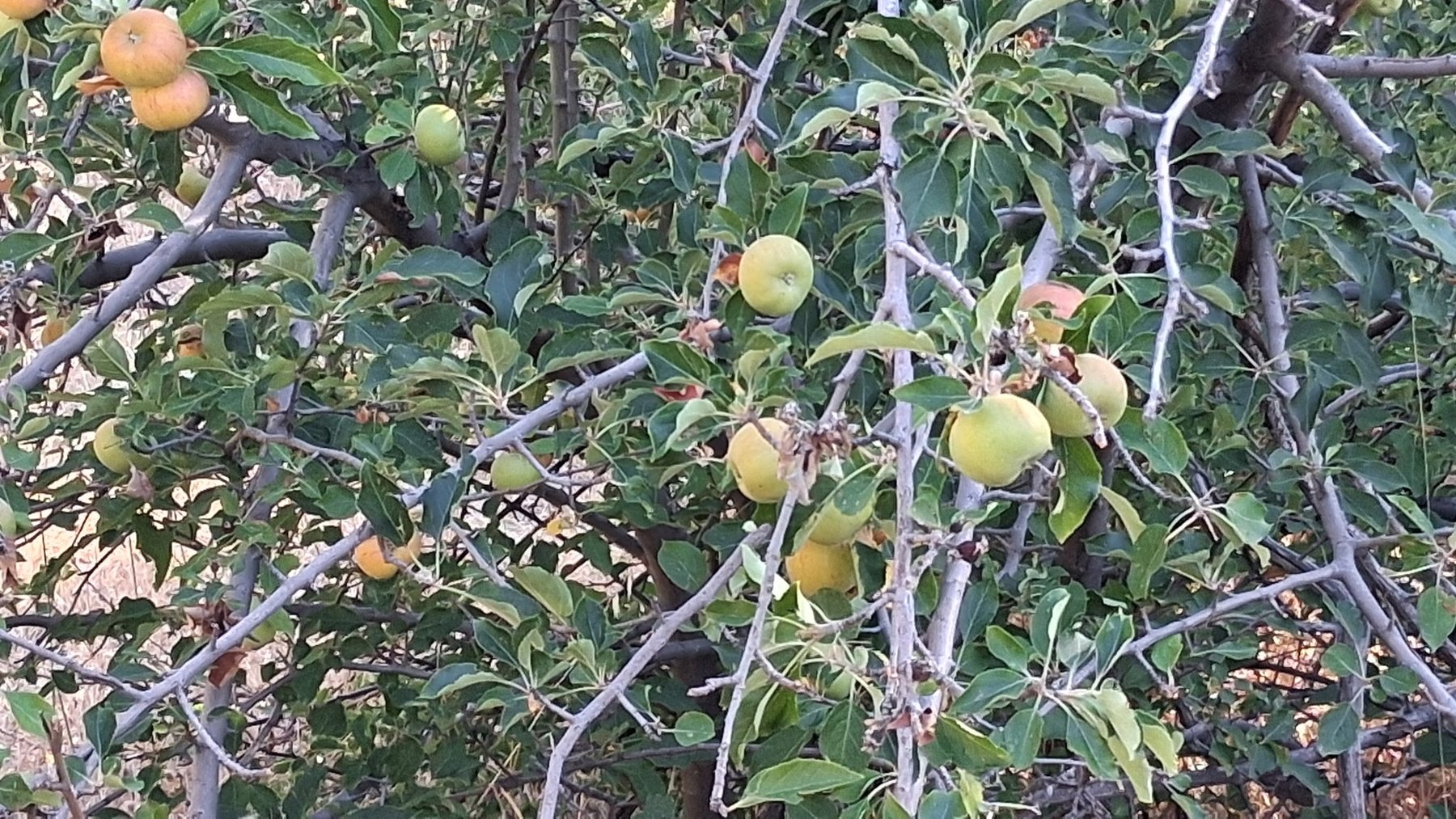
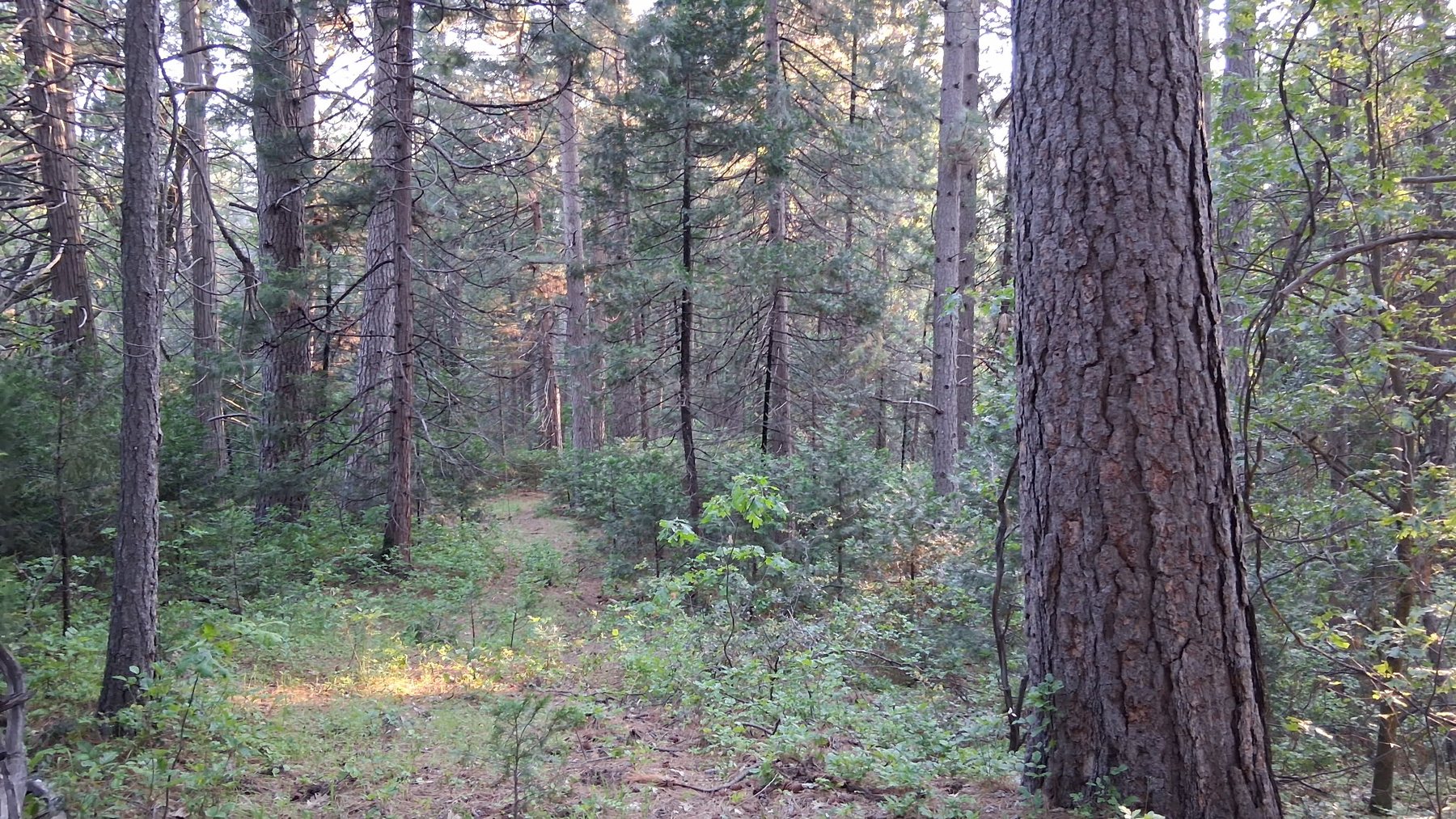

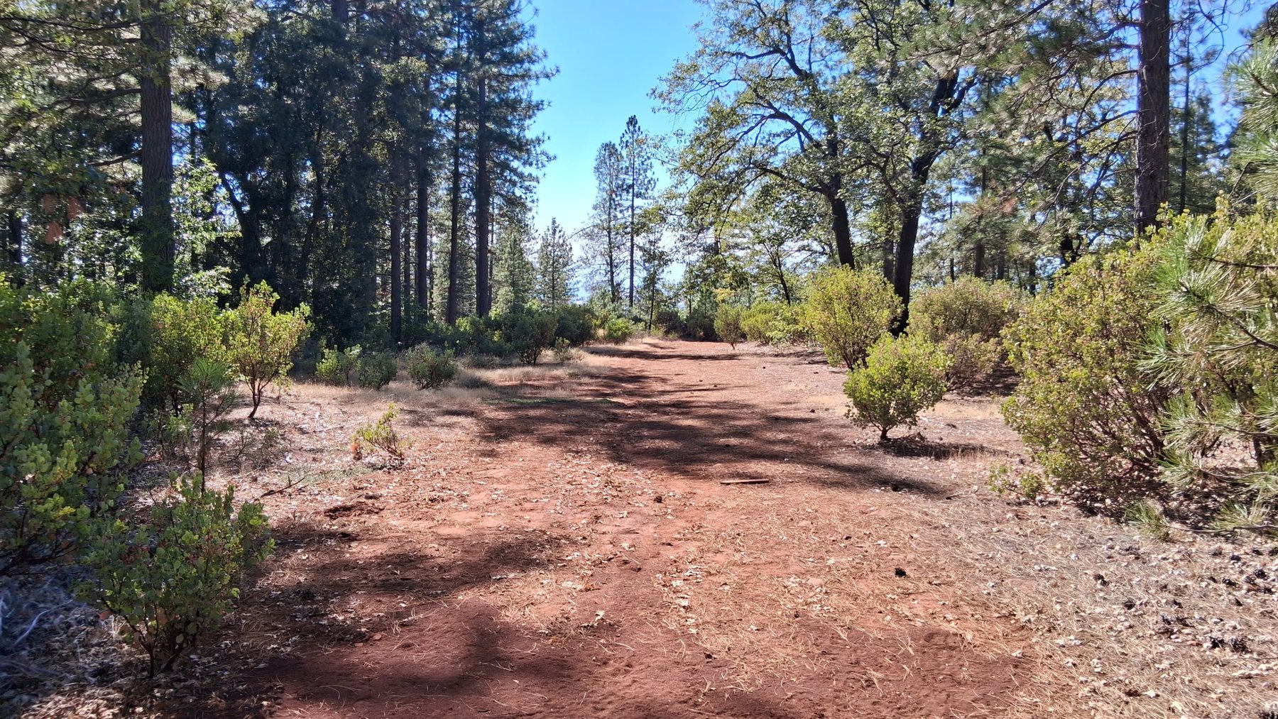
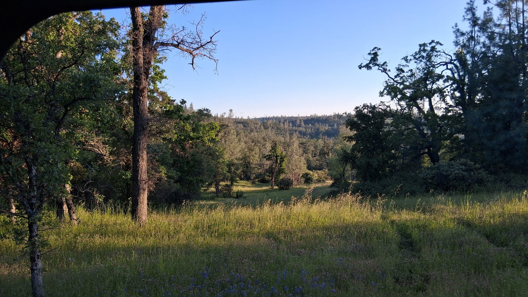
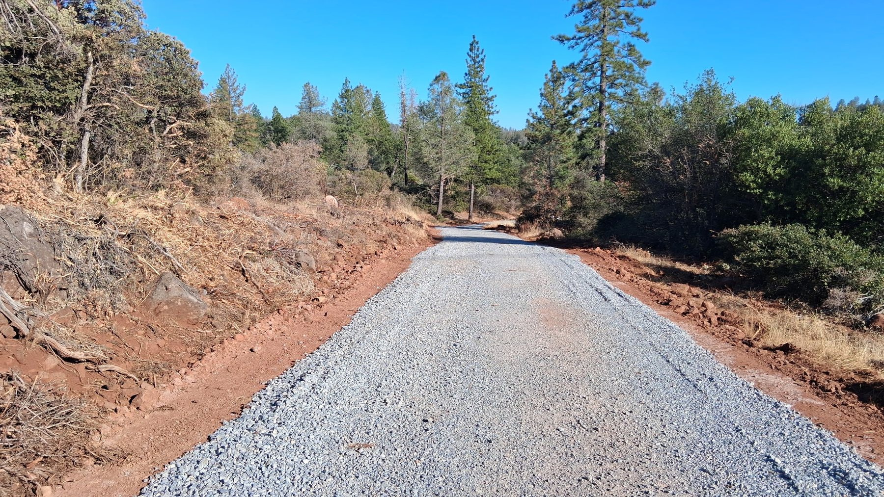
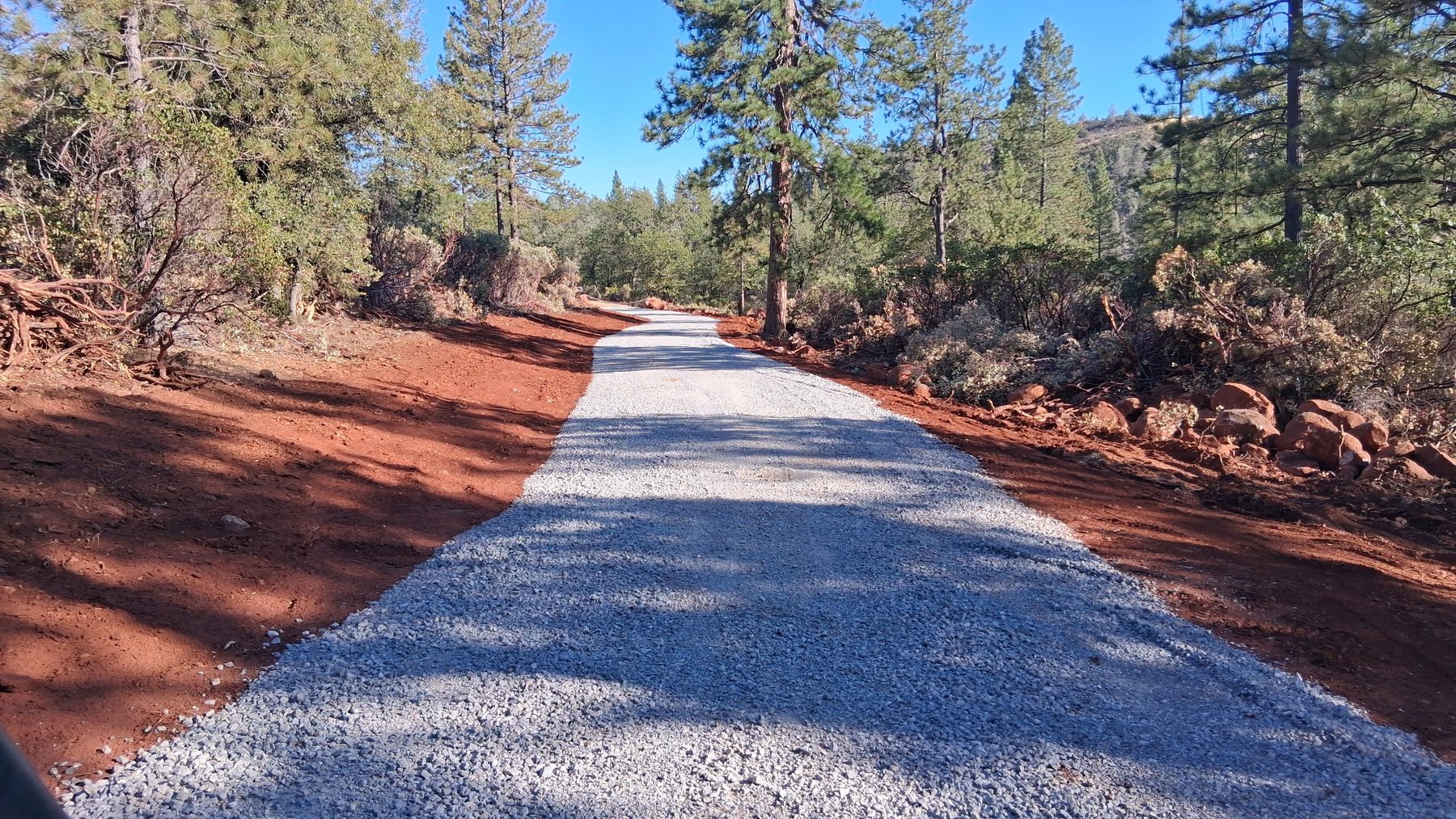
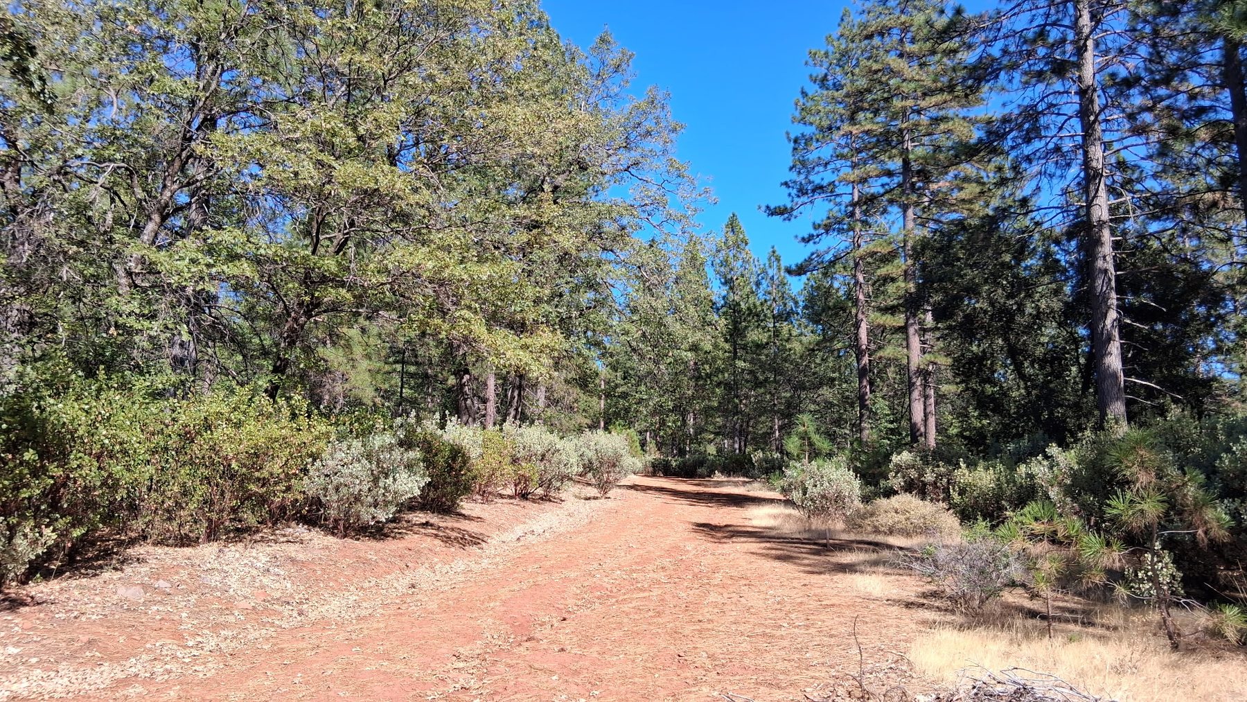
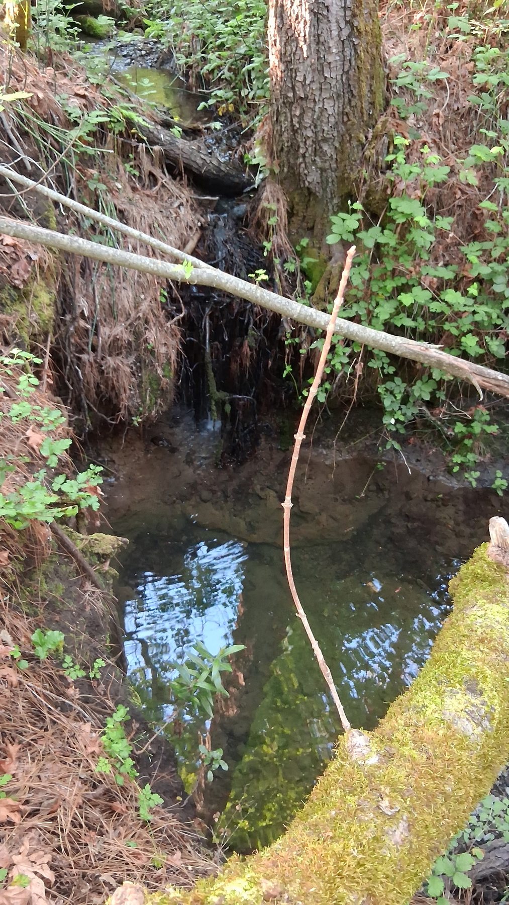
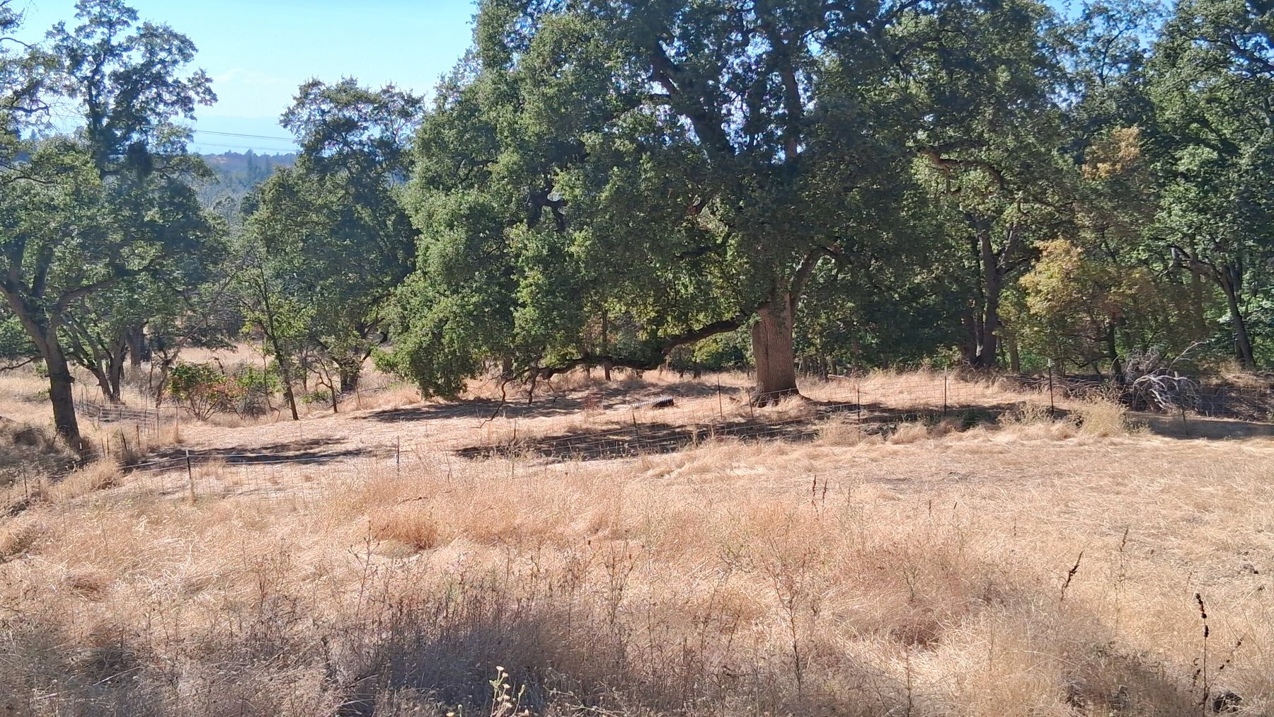
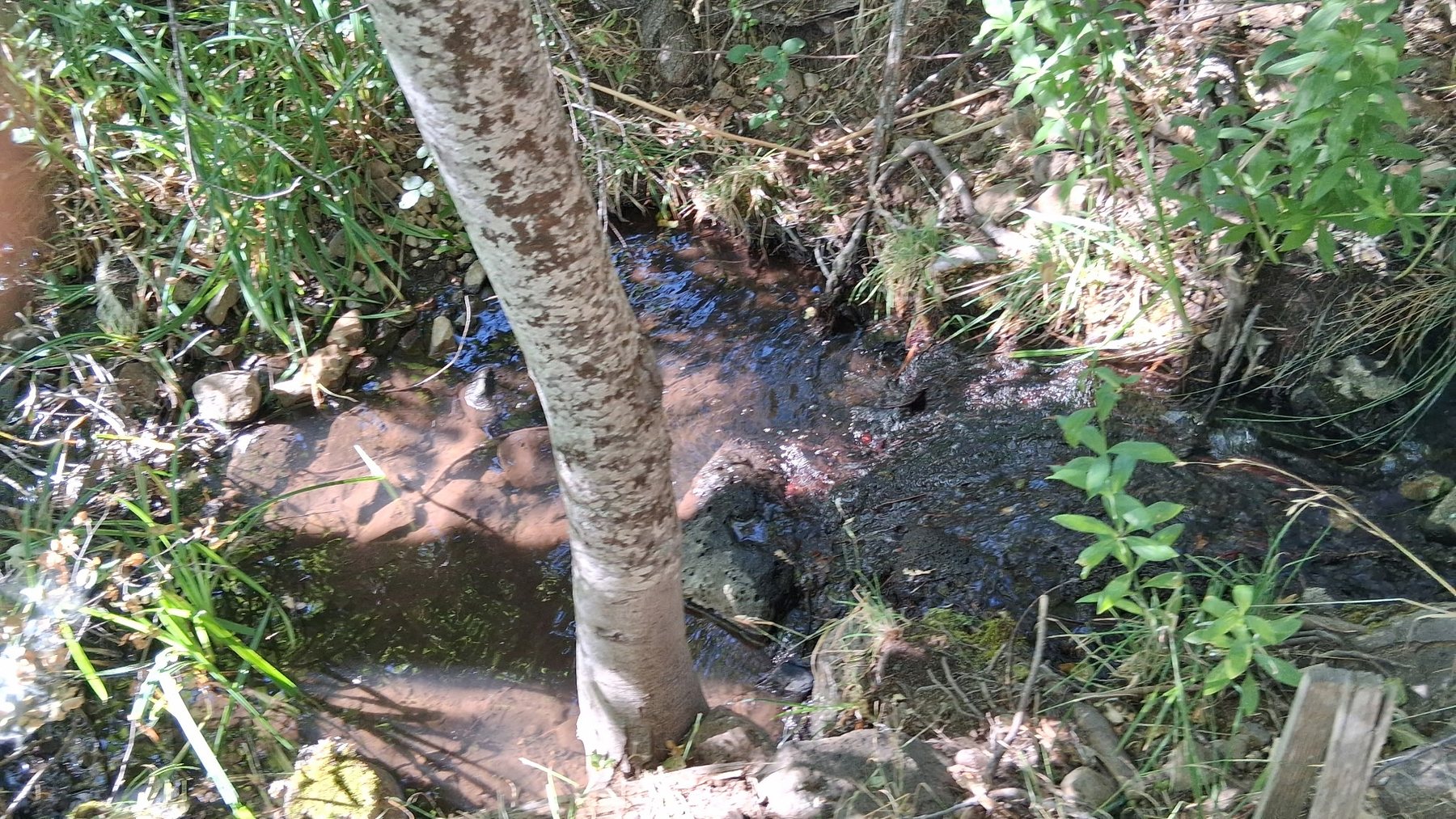
Water, improvements & property features
The 173± acre parcel includes a well, water storage tanks and a structure. Information regarding septic has not been confirmed. Buyers should inspect and verify the condition, capacity, permitting and suitability of all improvements and systems to their satisfaction.
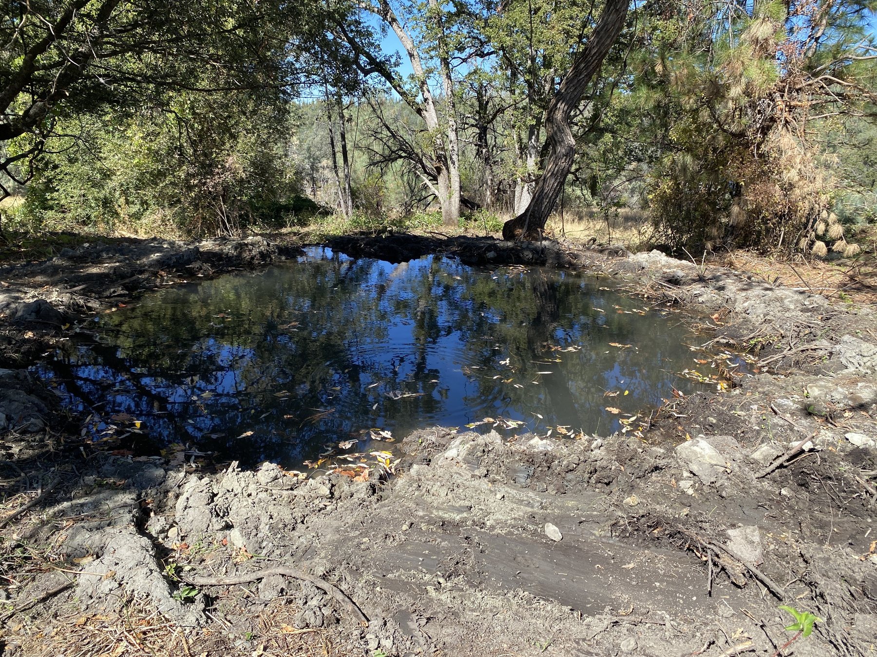
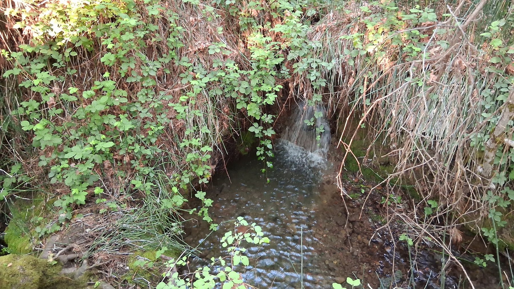
Property photographs and video show areas of surface water, wet areas and lush vegetation, and mapped creek corridors cross portions of the property. Water videos were recorded 9/28/26. Buyers should independently investigate seasonal or perennial flow, water rights and all water-related conditions to their satisfaction.
Aerial, parcels & topography
Interactive aerial location map
Use the Google satellite map below to zoom in or out and see the property's general location in relation to Shingletown, Redding and the surrounding area.
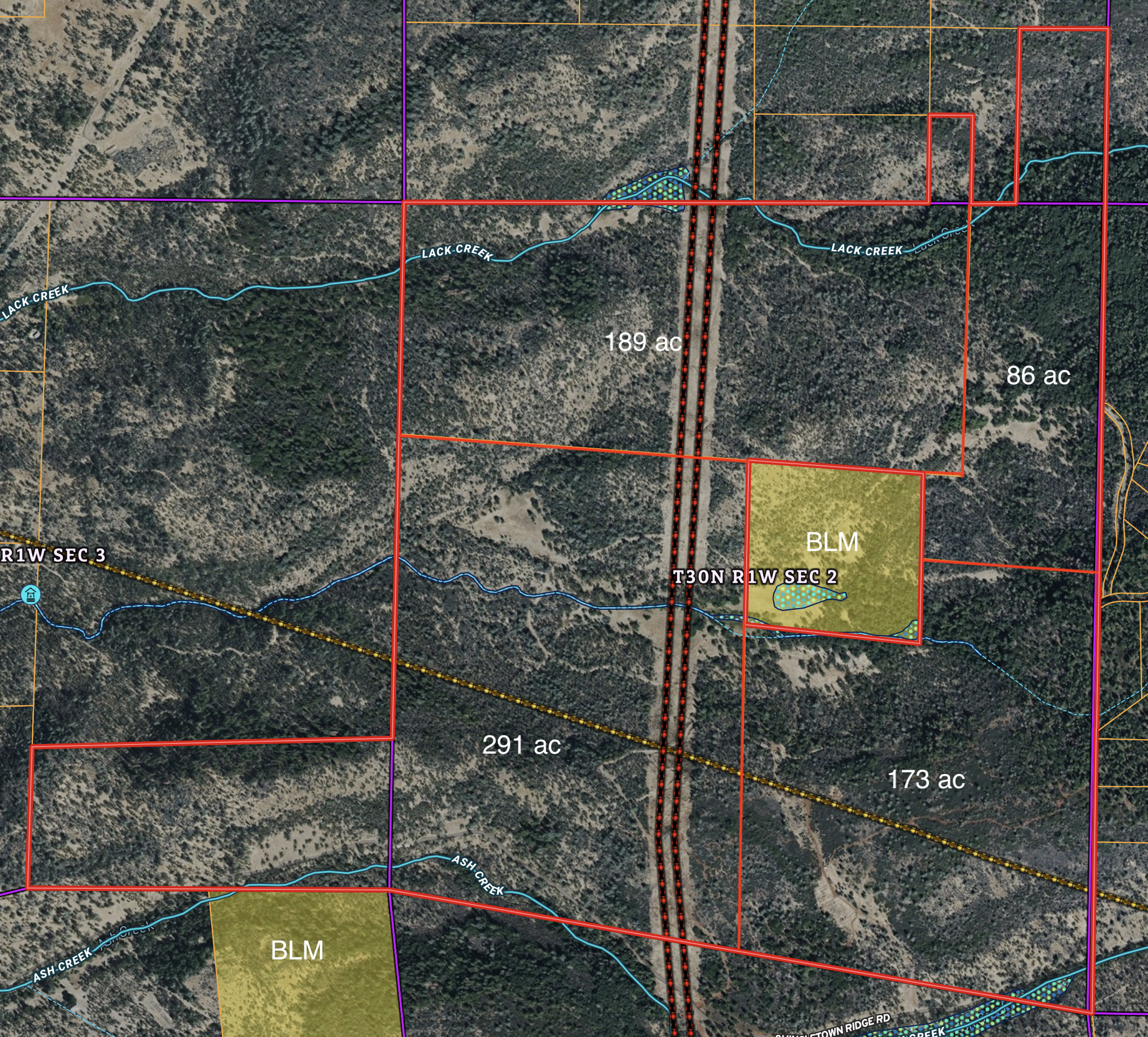
Property aerial — parcels & BLM
Working acreage labels follow the engineered 2004 Property Line Adjustment. Parcel acreage is based on recorded 2004 engineered Property Line Adjustment.
View Large Aerial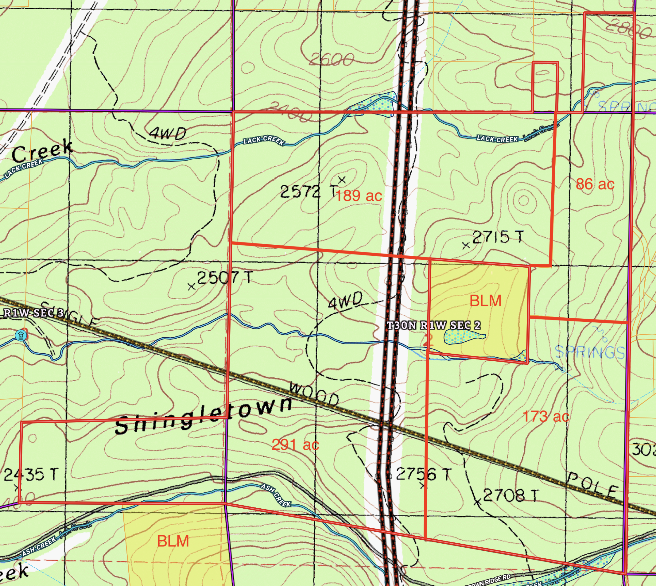
Topography, creeks & BLM
USGS topographic mapping shows varied terrain, mapped creek corridors and surrounding public-land context.
View Large Topo MapMap boundaries and public-land overlays are for orientation only and are not surveys. Buyers should independently verify boundaries, legal access, BLM ownership and public access rules.
Explore the Property
Use the photo map to open photographs and late-September water videos by location. Use the drone map to see GPS flight paths and open the edited drone videos.
Interactive Photo Map
Interactive Drone Video Map
2004 Property Line Adjustment
The recorded Property Line Adjustment includes an engineered exhibit showing the four adjusted parcels after the 2004 adjustment: approximately 173, 291, 86 and 189 acres. This exhibit is useful for understanding how the overall holding is divided.

Recreation, privacy & public-land setting
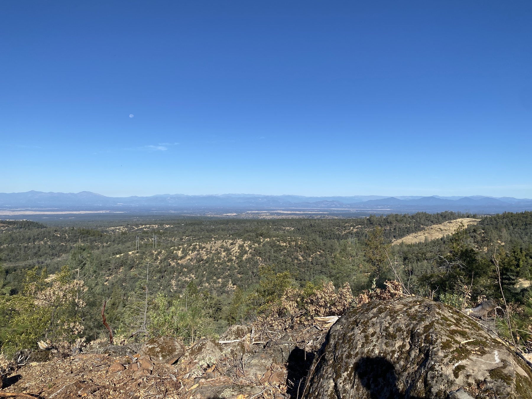
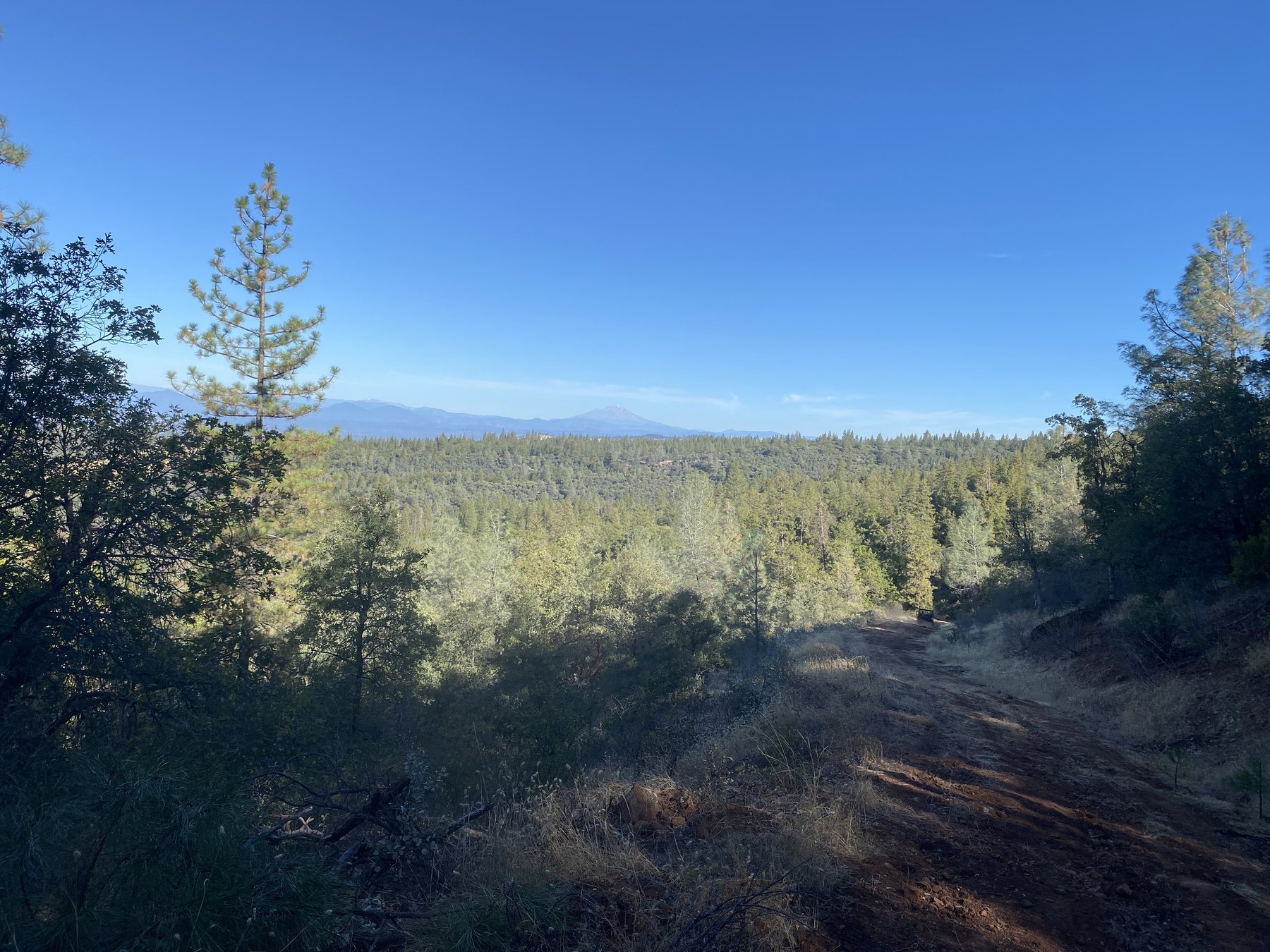
The property includes timber, oak woodland, open ground, ridges, valleys and an internal road network that may appeal to hunting, recreation, retreat, ranch and legacy-land buyers. Portions of the property adjoin BLM public land, including a 40± acre BLM parcel, and the 291± acre portion adjoins approximately 80 acres of BLM land. Buyers should independently verify boundaries, legal access and public-access rules to their satisfaction.
Property information & due diligence
Current due diligence: The recorded 2004 Property Line Adjustment depicts four adjusted parcels. Shasta County Planning confirmation of separate legal/buildable parcel status is pending. Current assessor acreage differs from the engineered PLA acreage.
Buyer to verify: exact legal acreage; parcel/buildability status; access and easements; well production and permits; septic existence/condition; structure permits, size and condition; water rights and seasonal/perennial nature of springs and creeks; timber volume/value; BLM boundaries and public access rules; zoning and permitted uses.
Explore Shingletown Ridge — Video Tour
Take a 2:45-minute tour of the natural springs, spring-fed creeks and pools, timber and scenic terrain.